
ꯐꯥꯏꯜ:Mumbai area locator map.svg

Size of this PNG preview of this SVG file: ৪৪৫ × ৬০০ ꯄꯤꯛꯆꯦꯜꯁ. ꯑꯇꯩ ꯁꯦꯡꯅ ꯌꯦꯡꯕ ꯌꯥꯕ: ১৭৮ × ২৪০ ꯄꯤꯛꯆꯦꯜꯁ | ৩৫৬ × ৪৮০ ꯄꯤꯛꯆꯦꯜꯁ | ৫৭০ × ৭৬৮ ꯄꯤꯛꯆꯦꯜꯁ | ৭৬০ × ১,০২৪ ꯄꯤꯛꯆꯦꯜꯁ | ১,৫২০ × ২,০৪৮ ꯄꯤꯛꯆꯦꯜꯁ | ১,৩৫৩ × ১,৮২৩ ꯄꯤꯛꯆꯦꯜꯁ.
ꯐꯥꯏꯜ ꯑꯁꯦꯡꯕ (ꯑꯦꯁ•ꯚꯤ•ꯖꯤ ꯐꯥꯏꯜ, ꯌꯥꯝꯗꯅ ১,৩৫৩ × ১,৮২৩ ꯄꯤꯛꯆꯦꯜ, ꯐꯥꯏꯜ ꯆꯥꯎꯕꯒꯤ ꯆꯥꯡ: ২৯৮ KB)
ꯑꯇꯦꯟꯕꯥ ꯁꯟꯗꯣꯛꯅꯥ ꯇꯥꯛꯄꯥ
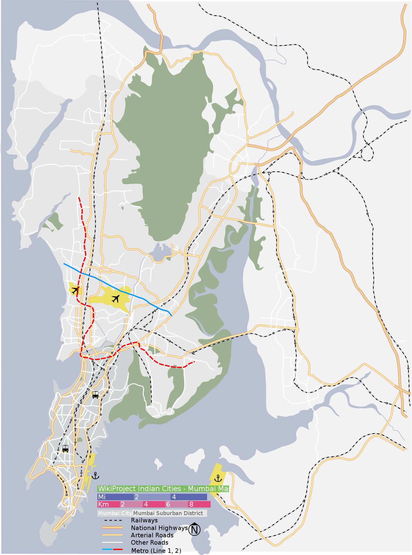
| ꯁꯟꯗꯣꯛꯅꯥ ꯇꯥꯛꯄꯥ | Map of Mumbai city district and Mumbai suburban district, with major roads, railways and water bodies. Coordinates: top=19.3274, bottom=18.8894, left=72.7692, right=73.1165. |
| ꯆꯩꯆꯠ | |
| ꯍꯧꯔꯛꯐꯛ | Painted by Planemad, verified using Google maps |
| ꯄꯨꯊꯣꯛꯂꯤꯕ ꯃꯤ | Planemad |
| SVG genesis |
ꯑꯌꯥꯕꯥ
I, the copyright holder of this work, hereby publish it under the following licenses:

|
ꯁꯤꯟꯗꯣꯛꯅꯕ ꯑꯌꯥꯕꯗꯨ ꯄꯤꯔꯦ, ꯌꯦꯟꯊꯣꯛꯎ ꯑꯃꯁꯨꯡ/ꯅꯠꯇ꯭ꯔꯒ ꯃꯑꯣꯡ ꯱ꯗ ꯁꯦꯝꯗꯣꯛꯎ ꯃꯁꯤꯒꯤ ꯐꯥꯏꯜ ꯑꯁꯤ ꯖꯤ•ꯑꯦꯟ•ꯌꯨ ꯃꯃꯜ ꯇꯤꯡꯗꯕ ꯗꯣꯀꯨꯃꯦꯟꯇꯦꯁꯟꯒꯤ ꯑꯌꯥꯕ ꯌꯥꯅꯕꯒꯤ ꯃꯈꯥꯗ, ꯚꯔꯖꯟ ꯱.꯲ ꯅꯠꯇ꯭ꯔꯒ ꯇꯨꯡꯗ ꯂꯥꯛꯀꯗꯕ ꯚꯔꯖꯟ Free Software Foundationꯅ ꯐꯣꯡꯗꯣꯛꯂꯕ; ꯂꯣꯏꯅꯅ ꯈꯦꯠꯅꯕ ꯁꯔꯨꯛꯁꯤꯡ ꯌꯥꯎꯗꯅ, ꯂꯥꯏꯔꯤꯛꯀꯤ ꯃꯃꯥꯡꯒꯤ ꯃꯈꯨꯝ ꯌꯥꯎꯗꯕꯤ, ꯑꯃꯗꯤ ꯂꯥꯏꯔꯤꯛꯀꯤ ꯑꯔꯣꯏꯕ ꯆꯦꯈꯨꯝ ꯌꯥꯎꯗꯕꯤ ꯫ ꯁꯤꯟꯗꯣꯛꯄ ꯌꯥꯕꯒꯤ ꯑꯌꯥꯕꯁꯤꯡꯁꯤ GNU Free Documentation Licenseꯒꯤ ꯁ꯭ꯔꯨꯛꯁꯤꯡꯗ ꯌꯥꯎꯔꯦ ꯫ |
| ꯐꯥꯏꯜ ꯑꯁꯤ ꯀ꯭ꯔꯤꯌꯦꯇꯤꯚ ꯀꯣꯃꯣꯟꯁꯀꯤ Attribution-Share Alike 3.0 Unported ꯑꯌꯥꯕꯒꯤ ꯃꯈꯥꯗ ꯌꯥꯎꯕꯅꯤ ꯫ | ||
ꯃꯈꯥꯗ ꯎꯠꯀꯗꯕꯅꯤ ꯑꯁꯦꯡꯕ ꯑꯅꯧꯕ ꯱ ꯑꯣꯏꯅ ꯂꯧꯗꯨꯅ ꯫ | ||
| This licensing tag was added to this file as part of the GFDL licensing update. |
This file is licensed under the Creative Commons Attribution-Share Alike 2.5 Generic, 2.0 Generic and 1.0 Generic license.
- ꯅꯪꯒꯤ ꯀꯨꯁꯤ:
- ꯃꯌꯥꯝꯗꯥ ꯐꯪꯍꯟꯕꯥ – ꯊꯥꯕꯛ ꯑꯗꯨ ꯁꯤꯟꯖꯤꯟꯕꯥ, ꯌꯦꯟꯊꯣꯛ ꯎ ꯑꯃꯥꯗꯤ ꯃꯐꯝ ꯱ ꯗꯥ ꯆꯠꯍꯟꯂꯨ
- ꯑꯃꯨꯛꯀꯥ ꯌꯥꯟꯁꯤꯟꯅꯍꯟꯕꯥ – ꯊꯥꯕꯛꯇꯨꯒꯥ ꯆꯨꯁꯤꯟꯅꯍꯟꯕꯥ
- ꯃꯈꯥꯒꯤ ꯌꯥꯅꯕꯒꯤ ꯃꯈꯥ ꯄꯣꯟꯅ:
- ꯈꯣꯝꯒꯠꯂꯛꯄꯥ – ꯅꯪꯅ ꯆꯞꯆꯥꯕ ꯇꯧꯕꯤꯃꯜ ꯄꯤꯕꯤꯒꯗꯕꯅꯤ, ꯑꯌꯥꯕ ꯄꯤꯔꯤꯕꯁꯤꯡꯒ ꯁꯝꯅꯐꯝ ꯄꯤꯒꯗꯕꯅꯤ ꯑꯃꯁꯨꯡ ꯑꯍꯣꯡꯕ ꯈꯔꯥ ꯂꯩꯔꯗꯤ ꯃꯗꯨ ꯎꯠꯀꯗꯕꯅꯤ ꯫ ꯅꯪꯅ ꯃꯗꯨ ꯃꯔꯝ ꯂꯩꯅ ꯇꯧꯒꯗꯕꯅꯤ, ꯑꯗꯨꯕꯨ ꯑꯌꯥꯕ ꯄꯥꯏꯔꯤꯕꯗꯨꯅ ꯍꯥꯏꯔꯛꯄ ꯃꯑꯣꯡ ꯅꯠꯇ꯭ꯔꯒ ꯅꯪꯅ ꯁꯤꯖꯤꯟꯅꯕ ꯃꯑꯣꯡꯗ ꯇꯧꯔꯣꯏꯗꯕꯅꯤ ꯫
- ꯃꯥꯟꯅꯕꯥ ꯁꯥꯔꯨꯛ – ꯀꯔꯤꯒꯨꯝꯅ ꯅꯪꯅ ꯌꯥꯟꯁꯤꯟꯅꯔꯕ, ꯍꯣꯡꯗꯣꯛꯍꯟꯂꯕ, ꯅꯠꯇ꯭ꯔꯒ ꯄꯣꯠꯆꯪꯁꯤꯡ ꯁꯥꯒꯠꯂꯕꯗꯤ, ꯅꯪꯒꯤ ꯍꯣꯠꯅꯖꯃꯟ ꯑꯗꯨ ꯃꯁꯤꯒꯤ same or compatible licenseꯒꯤ
ꯅꯪ ꯅꯁꯥꯅꯥ ꯃꯁꯤꯒꯤ ꯑꯌꯥꯕꯁꯤ ꯈꯟꯕꯥ ꯌꯥꯅꯤ ꯫
ꯐꯥꯏꯜꯒꯤ ꯄꯨꯋꯥꯔꯤ
ꯆꯩꯆꯠ/ꯃꯇꯝꯗ ꯅꯝꯃꯨ ꯃꯇꯝ ꯑꯗꯨꯗ ꯐꯥꯏꯜ ꯑꯗꯨ ꯎꯅꯕ
| ꯆꯩꯆꯠ/ꯃꯇꯝ | ꯈꯨꯠꯄꯤꯈꯨꯖꯤꯟ | ꯄꯥꯛ ꯆꯥꯎꯕꯥ | ꯁꯤꯖꯤꯟꯅꯔꯤꯕ | ꯑꯄꯥꯝꯕ ꯐꯣꯡꯗꯣꯛ ꯎ | |
|---|---|---|---|---|---|
| ꯍꯧꯖꯤꯛꯀꯤ | ꯱꯵:꯰꯷, ꯲꯷ ꯖꯨꯂꯥꯏ ꯲꯰꯱꯳ | | ১,৩৫৩ × ১,৮২৩ (২৯৮ KB) | Nankai~commonswiki | Added Mumbai Metro lines 1 and 2 using Inkscape. route drawn freehand; may benefit from adjustment and addition of stations. |
| ꯱꯵:꯰꯰, ꯲꯷ ꯖꯨꯂꯥꯏ ꯲꯰꯱꯳ |  | ১,৩৪৪ × ১,৮০৮ (২৫০ KB) | Nankai~commonswiki | Reverted to version as of 14:51, 28 January 2007 | |
| ꯱꯴:꯵꯲, ꯲꯷ ꯖꯨꯂꯥꯏ ꯲꯰꯱꯳ |  | ৭৪৪ × ১,০৫২ (২৯৮ KB) | Nankai~commonswiki | added Mumbai Metro lines 1 and 2 ~~~~ | |
| ꯲꯰:꯲꯱, ꯲꯸ ꯖꯥꯅꯨꯋꯥꯔꯤ ꯲꯰꯰꯷ |  | ১,৩৪৪ × ১,৮০৮ (২৫০ KB) | Planemad | {{WikiProject India City Maps |Title=Mumbai locator map |Description=Map of Mumbai city district and Mumbai suburban district, with major roads, railways and water bodies. |Source= Google maps |Date=28 Jan 07 |Author=w:user:Planemad }} |
ꯐꯥꯏꯜꯒꯤ ꯁꯤꯖꯤꯟꯅꯐꯝ
ꯃꯇꯨꯡ ꯏꯟꯕ ꯂꯃꯥꯏꯁꯤꯖꯤꯟꯅꯕ ꯃꯁꯤꯒꯤ ꯐꯥꯏꯜ:
ꯃꯥꯂꯦꯝꯒꯤ ꯊꯥꯛꯇꯥ ꯁꯤꯖꯤꯟꯅꯕꯥ ꯐꯥꯏꯜ
ꯃꯁꯤꯒꯤ ꯐꯥꯏꯜ ꯑꯁꯤ ꯃꯈꯥꯒꯤ ꯑꯇꯩ ꯋꯤꯀꯤꯁꯤꯡꯅ ꯁꯤꯖꯤꯟꯅꯩ:
- anp.wikipedia.org ꯗꯥ ꯁꯤꯖꯤꯟꯅꯩ
- ar.wikipedia.org ꯗꯥ ꯁꯤꯖꯤꯟꯅꯩ
- ast.wikipedia.org ꯗꯥ ꯁꯤꯖꯤꯟꯅꯩ
- as.wikipedia.org ꯗꯥ ꯁꯤꯖꯤꯟꯅꯩ
- azb.wikipedia.org ꯗꯥ ꯁꯤꯖꯤꯟꯅꯩ
- bh.wikipedia.org ꯗꯥ ꯁꯤꯖꯤꯟꯅꯩ
- bn.wikipedia.org ꯗꯥ ꯁꯤꯖꯤꯟꯅꯩ
- পানভেল
- ২০১৩ থানে ভবন ধস
- টেমপ্লেট:অবস্থান মানচিত্র ভারত মুম্বাই
- গেটওয়ে অব ইন্ডিয়া
- ওয়াটসন'স হোটেল
- ভাঈন্দর
- বোরিবালি
- যোগেশ্বরী রেলওয়ে স্টেশন
- হাজী আলী দরগাহ
- চার্চগেট
- চার্চগেট স্টেশন
- দহিসর স্টেশন
- ওশিওয়ারা স্টেশন
- মুম্বই সেন্ট্রাল স্টেশন
- ওরলি
- কামাঠিপুরা
- বান্দ্রা
- জুহু
- যোগেশ্বরী
- মাহিম
- তাড়দেও
- শিল ফাটা
- চেম্বুর
- জুহু বিমানবন্দর
- মডিউল:অবস্থান মানচিত্র/উপাত্ত/ভারত মুম্বই
- মডিউল:অবস্থান মানচিত্র/উপাত্ত/ভারত মুম্বই/নথি
- মুম্বই এশিয়াটিক সোসাইটি
- ছত্রপতি শিবাজী আন্তর্জাতিক বিমানবন্দর
- দাদার
- ক্রফোর্ড মার্কেট
- বোরিভালি রেলওয়ে স্টেশন
- তিলকনগর (মুম্বাই)
ꯌꯦꯡꯉꯨ ꯃꯂꯦꯝꯒꯤ ꯊꯥꯛꯀꯤ ꯁꯤꯖꯤꯟꯅꯐꯝ ꯑꯗꯨ ꯃꯁꯤꯒꯤ ꯐꯥꯏꯜꯁꯤꯗ ꯫