
ꯐꯥꯏꯜ:World location map (equirectangular 180).svg

Size of this PNG preview of this SVG file: ৮০০ × ৪০০ ꯄꯤꯛꯆꯦꯜꯁ. ꯑꯇꯩ ꯁꯦꯡꯅ ꯌꯦꯡꯕ ꯌꯥꯕ: ৩২০ × ১৬০ ꯄꯤꯛꯆꯦꯜꯁ | ৬৪০ × ৩২০ ꯄꯤꯛꯆꯦꯜꯁ | ১,০২৪ × ৫১২ ꯄꯤꯛꯆꯦꯜꯁ | ১,২৮০ × ৬৪০ ꯄꯤꯛꯆꯦꯜꯁ | ২,৫৬০ × ১,২৭৯ ꯄꯤꯛꯆꯦꯜꯁ | ২,৫২১ × ১,২৬০ ꯄꯤꯛꯆꯦꯜꯁ.
ꯐꯥꯏꯜ ꯑꯁꯦꯡꯕ (ꯑꯦꯁ•ꯚꯤ•ꯖꯤ ꯐꯥꯏꯜ, ꯌꯥꯝꯗꯅ ২,৫২১ × ১,২৬০ ꯄꯤꯛꯆꯦꯜ, ꯐꯥꯏꯜ ꯆꯥꯎꯕꯒꯤ ꯆꯥꯡ: ৪.১৯ MB)
.svg)
ꯑꯇꯦꯟꯕꯥ ꯁꯟꯗꯣꯛꯅꯥ ꯇꯥꯛꯄꯥ
| ꯁꯟꯗꯣꯛꯅꯥ ꯇꯥꯛꯄꯥ |
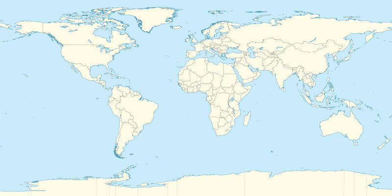
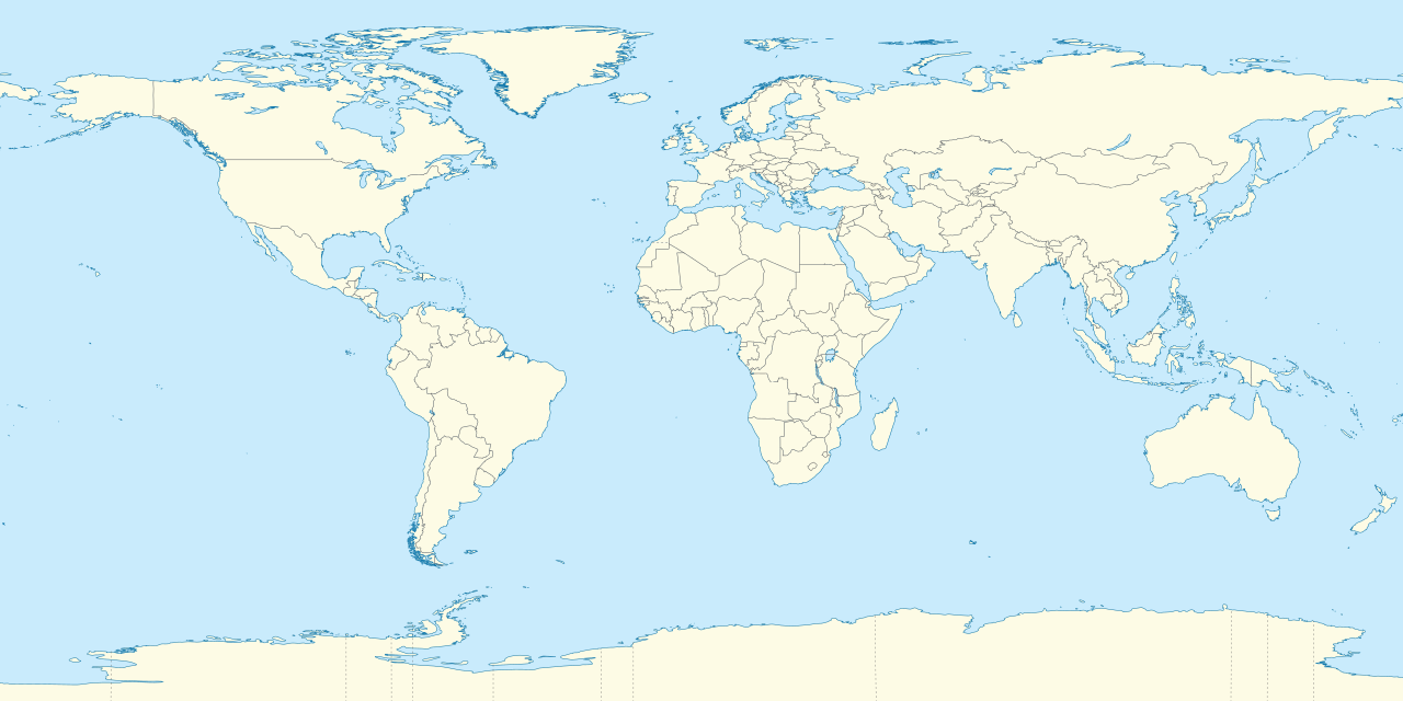
Deutsch: Positionskarte der Welt. Plattkarte von 180° Ost bis 180° West und von 90° Nord bis 90° Süd
English: Location map of the world. Equirectangular projection from 180°E to 180°W and from 90°S to 90°N |
| ꯆꯩꯆꯠ | |
| ꯍꯧꯔꯛꯐꯛ |
ꯏꯁꯥ ꯏꯊꯟꯇꯒꯤ ꯑꯣꯏꯕꯥ ꯊꯕꯛ This SVG _?_ includes elements that have been taken or adapted from this _?_: |
| ꯄꯨꯊꯣꯛꯂꯤꯕ ꯃꯤ |
TUBS |
| Other versions | Derivative works of this file: Weltumrundung Elly Beinhorn 1932.png |
| SVG genesis | This oversized W3C-invalid world map was created with Adobe Illustrator by TUBS. |
ꯑꯌꯥꯕꯥ
I, the copyright holder of this work, hereby publish it under the following licenses:
ꯐꯥꯏꯜ ꯑꯁꯤ ꯀ꯭ꯔꯤꯌꯦꯇꯤꯚ ꯀꯣꯃꯣꯟꯁꯀꯤ Attribution-Share Alike 3.0 Unported ꯑꯌꯥꯕꯒꯤ ꯃꯈꯥꯗ ꯌꯥꯎꯕꯅꯤ ꯫
- ꯅꯪꯒꯤ ꯀꯨꯁꯤ:
- ꯃꯌꯥꯝꯗꯥ ꯐꯪꯍꯟꯕꯥ – ꯊꯥꯕꯛ ꯑꯗꯨ ꯁꯤꯟꯖꯤꯟꯕꯥ, ꯌꯦꯟꯊꯣꯛ ꯎ ꯑꯃꯥꯗꯤ ꯃꯐꯝ ꯱ ꯗꯥ ꯆꯠꯍꯟꯂꯨ
- ꯑꯃꯨꯛꯀꯥ ꯌꯥꯟꯁꯤꯟꯅꯍꯟꯕꯥ – ꯊꯥꯕꯛꯇꯨꯒꯥ ꯆꯨꯁꯤꯟꯅꯍꯟꯕꯥ
- ꯃꯈꯥꯒꯤ ꯌꯥꯅꯕꯒꯤ ꯃꯈꯥ ꯄꯣꯟꯅ:
- ꯈꯣꯝꯒꯠꯂꯛꯄꯥ – ꯅꯪꯅ ꯆꯞꯆꯥꯕ ꯇꯧꯕꯤꯃꯜ ꯄꯤꯕꯤꯒꯗꯕꯅꯤ, ꯑꯌꯥꯕ ꯄꯤꯔꯤꯕꯁꯤꯡꯒ ꯁꯝꯅꯐꯝ ꯄꯤꯒꯗꯕꯅꯤ ꯑꯃꯁꯨꯡ ꯑꯍꯣꯡꯕ ꯈꯔꯥ ꯂꯩꯔꯗꯤ ꯃꯗꯨ ꯎꯠꯀꯗꯕꯅꯤ ꯫ ꯅꯪꯅ ꯃꯗꯨ ꯃꯔꯝ ꯂꯩꯅ ꯇꯧꯒꯗꯕꯅꯤ, ꯑꯗꯨꯕꯨ ꯑꯌꯥꯕ ꯄꯥꯏꯔꯤꯕꯗꯨꯅ ꯍꯥꯏꯔꯛꯄ ꯃꯑꯣꯡ ꯅꯠꯇ꯭ꯔꯒ ꯅꯪꯅ ꯁꯤꯖꯤꯟꯅꯕ ꯃꯑꯣꯡꯗ ꯇꯧꯔꯣꯏꯗꯕꯅꯤ ꯫
- ꯃꯥꯟꯅꯕꯥ ꯁꯥꯔꯨꯛ – ꯀꯔꯤꯒꯨꯝꯅ ꯅꯪꯅ ꯌꯥꯟꯁꯤꯟꯅꯔꯕ, ꯍꯣꯡꯗꯣꯛꯍꯟꯂꯕ, ꯅꯠꯇ꯭ꯔꯒ ꯄꯣꯠꯆꯪꯁꯤꯡ ꯁꯥꯒꯠꯂꯕꯗꯤ, ꯅꯪꯒꯤ ꯍꯣꯠꯅꯖꯃꯟ ꯑꯗꯨ ꯃꯁꯤꯒꯤ same or compatible licenseꯒꯤ

|
ꯁꯤꯟꯗꯣꯛꯅꯕ ꯑꯌꯥꯕꯗꯨ ꯄꯤꯔꯦ, ꯌꯦꯟꯊꯣꯛꯎ ꯑꯃꯁꯨꯡ/ꯅꯠꯇ꯭ꯔꯒ ꯃꯑꯣꯡ ꯱ꯗ ꯁꯦꯝꯗꯣꯛꯎ ꯃꯁꯤꯒꯤ ꯐꯥꯏꯜ ꯑꯁꯤ ꯖꯤ•ꯑꯦꯟ•ꯌꯨ ꯃꯃꯜ ꯇꯤꯡꯗꯕ ꯗꯣꯀꯨꯃꯦꯟꯇꯦꯁꯟꯒꯤ ꯑꯌꯥꯕ ꯌꯥꯅꯕꯒꯤ ꯃꯈꯥꯗ, ꯚꯔꯖꯟ ꯱.꯲ ꯅꯠꯇ꯭ꯔꯒ ꯇꯨꯡꯗ ꯂꯥꯛꯀꯗꯕ ꯚꯔꯖꯟ Free Software Foundationꯅ ꯐꯣꯡꯗꯣꯛꯂꯕ; ꯂꯣꯏꯅꯅ ꯈꯦꯠꯅꯕ ꯁꯔꯨꯛꯁꯤꯡ ꯌꯥꯎꯗꯅ, ꯂꯥꯏꯔꯤꯛꯀꯤ ꯃꯃꯥꯡꯒꯤ ꯃꯈꯨꯝ ꯌꯥꯎꯗꯕꯤ, ꯑꯃꯗꯤ ꯂꯥꯏꯔꯤꯛꯀꯤ ꯑꯔꯣꯏꯕ ꯆꯦꯈꯨꯝ ꯌꯥꯎꯗꯕꯤ ꯫ ꯁꯤꯟꯗꯣꯛꯄ ꯌꯥꯕꯒꯤ ꯑꯌꯥꯕꯁꯤꯡꯁꯤ GNU Free Documentation Licenseꯒꯤ ꯁ꯭ꯔꯨꯛꯁꯤꯡꯗ ꯌꯥꯎꯔꯦ ꯫ |
ꯅꯪ ꯅꯁꯥꯅꯥ ꯃꯁꯤꯒꯤ ꯑꯌꯥꯕꯁꯤ ꯈꯟꯕꯥ ꯌꯥꯅꯤ ꯫

|
I'd greatly appreciate, that you attribute this media file to Wikimedia Commons, if used outside Wikipedia or Commons. For use in publications such as books, newspapers, blogs, websites, please insert here the following line:
|
.svg)
ꯐꯥꯏꯜꯒꯤ ꯄꯨꯋꯥꯔꯤ
ꯆꯩꯆꯠ/ꯃꯇꯝꯗ ꯅꯝꯃꯨ ꯃꯇꯝ ꯑꯗꯨꯗ ꯐꯥꯏꯜ ꯑꯗꯨ ꯎꯅꯕ
| ꯆꯩꯆꯠ/ꯃꯇꯝ | ꯈꯨꯠꯄꯤꯈꯨꯖꯤꯟ | ꯄꯥꯛ ꯆꯥꯎꯕꯥ | ꯁꯤꯖꯤꯟꯅꯔꯤꯕ | ꯑꯄꯥꯝꯕ ꯐꯣꯡꯗꯣꯛ ꯎ | |
|---|---|---|---|---|---|
| ꯍꯧꯖꯤꯛꯀꯤ | ꯰꯱:꯰꯱, ꯱꯰ ꯁꯦꯞꯇꯦꯝꯕꯔ ꯲꯰꯱꯱ | | ২,৫২১ × ১,২৬০ (৪.১৯ MB) | TUBS | {{Information |Description=={{de|Positionskarte der Welt. Plattkarte von 180° Ost bis 180° West und von 90° Nord bis 90° Süd }} {{en|Location map of the world. [[:en:Equirectangular projection|Equirectan |
ꯐꯥꯏꯜꯒꯤ ꯁꯤꯖꯤꯟꯅꯐꯝ
ꯃꯥꯂꯦꯝꯒꯤ ꯊꯥꯛꯇꯥ ꯁꯤꯖꯤꯟꯅꯕꯥ ꯐꯥꯏꯜ
ꯃꯁꯤꯒꯤ ꯐꯥꯏꯜ ꯑꯁꯤ ꯃꯈꯥꯒꯤ ꯑꯇꯩ ꯋꯤꯀꯤꯁꯤꯡꯅ ꯁꯤꯖꯤꯟꯅꯩ:
- af.wikipedia.org ꯗꯥ ꯁꯤꯖꯤꯟꯅꯩ
- Etna
- Groep van 20
- Teide
- Vesuvius
- Mauna Loa
- Nyiragongo
- Sjabloon:Liggingkaart Aarde
- Sjabloon:Dekadevulkane-kaart
- Dekadevulkaan
- Taalvulkaan
- Korjakski
- Awatsjinski
- Sjabloon:Dekadevulkane-kaart/doc
- Ulawun
- Merapi
- Unzen
- Santorini-kaldera
- Sakurajima
- Santa María (vulkaan)
- Rainier (berg)
- Galeras
- Volcán de Colima
- World Baseball Classic
- als.wikipedia.org ꯗꯥ ꯁꯤꯖꯤꯟꯅꯩ
- Vorlage:Positionskarte Polen
- Vorlage:Positionskarte Schweden
- Vorlage:Positionskarte Frankreich
- Vorlage:Positionskarte/Info
- Vorlage:Positionskarte Deutschland
- Vorlage:Positionskarte Liechtenstein
- Vorlage:Positionskarte Schweiz
- Vorlage:Positionskarte Deutschland Baden-Württemberg
- Vorlage:Positionskarte Italien
- Vorlage:Positionskarte Ungarn
- Vorlage:Positionskarte Deutschland Bayern
- Vorlage:Positionskarte Österreich
- Vorlage:Positionskarte Albanien
- Vorlage:Positionskarte Kroatien
- Vorlage:Positionskarte Israel
- Vorlage:Positionskarte Ukraine
- Vorlage:Positionskarte Kenia
- Vorlage:Positionskarte Nigeria
- Vorlage:Positionskarte Belgien
- Vorlage:Positionskarte Erde
- Vorlage:Positionskarte Papua-Neuguinea
- Vorlage:Positionskarte Schweiz Aargau
- Vorlage:Positionskarte Estland
- Vorlage:Positionskarte Ägypten
- Vorlage:Positionskarte Bahrain
- Vorlage:Positionskarte Elfenbeinküste
- Vorlage:Positionskarte Türkei
ꯌꯦꯡꯉꯨ ꯃꯂꯦꯝꯒꯤ ꯊꯥꯛꯀꯤ ꯁꯤꯖꯤꯟꯅꯐꯝ ꯑꯗꯨ ꯃꯁꯤꯒꯤ ꯐꯥꯏꯜꯁꯤꯗ ꯫
.svg)
.svg)